NASA has unveiled a new system that's capable of monitoring the physical changes caused by volcanic and seismic activities on the ground. The agency plans to use this concept to keep track of volcanoes and earthquakes from space.
NASA's latest instrument is known as the CubeSat Imaging Radar for Earth Sciences (CIRES). Currently, CIRES is an airplane-mounted radar that monitors volcanoes from the sky.
Testing NASA's Latest Radar System

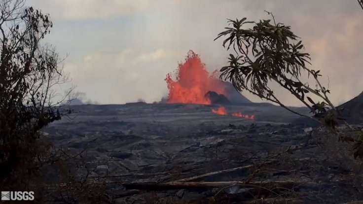
The agency tested the functions of CIRES in July 2018 by flying over the Kilauea Volcano in Hawaii. Using the radar, NASA's researchers were able to create a detailed map of the land changes caused by the volcano's eruption.
As noted by the researchers, physical changes on the ground caused by volcanic eruptions and earthquakes usually remain unnoticed. But, through CISAR's S-band Interferometric Synthetic Aperture Radar, NASA's researchers are able to detect these changes and how they affect the surrounding regions.
The radar's findings can be used by emergency relief agencies to implement effective solutions when dealing with disasters. "The CubeSat Imaging Radar for Earth Sciences, or CIRES, can help decision-makers and emergency managers obtain observations sooner after a hazardous event so that they are better prepared to deal with disaster relief," principal investigator Lauren Wye said in a statement.
Monitoring Volcanic Activity From Space

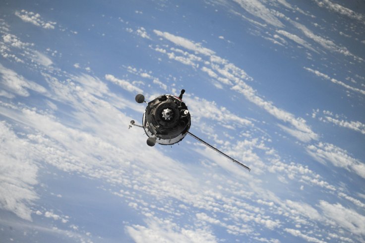
After carrying out Earth-based tests on CIRES, the researchers are planning on applying the same concept on satellites. They are hoping to launch a fleet of satellites that will act as an artificial constellation around Earth.
Like CIRES, these satellites will be designed to monitor volcanoes and earthquake events from around the world. Tracking changes on the ground can help agencies and researchers determine the potential magnitude of impending volcanic eruptions and earthquakes.
Through the data collected by the satellites, agencies from around the world would be able to implement evacuations and effective emergency response procedures in areas that would be affected by the natural disasters. "Small satellites, similar in scope to CIRES, can be a dream system from a rapid disaster response point of view," Sang-Ho Yun, a geophysicist at NASA, explained. "With small satellites, we can cost effectively achieve that goal."


