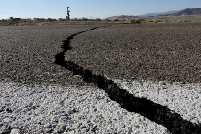
An earthquake that was measuring 6.8 on the Richter scale jolted Indonesia's North Maluka province on Thursday even though it did not trigger a tsunami alert, the meteorology and geophysics agency stated.
The agency initially issued that the quake was of 7.1 magnitude ahead of revising it down to 6.8, the official in charge of the agency, Wahyu Kurniawan mentioned as quoted by the Xinhua news agency.
Indonesia Earthquake

The quake jolted at 3.49 p.m. with the epicenter at 89 km northwest Daruba village of Pulau Marotai district and the depth at 112 km under the sea bed, the official said. "For this quake, we did not issue a tsunami warning," he added. Indonesia is frequently hit by earthquakes as it sits on a vulnerable quake-impacted zone called "the Pacific Ring of Fire".
(With agency inputs)


