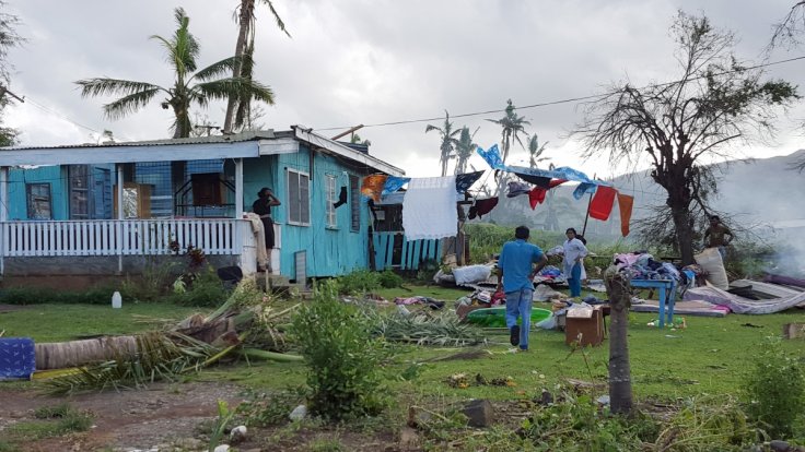
Tropical cyclone Keni, which has upgraded to a category 3 storm, approached the island nation of Fiji on Tuesday and authorities have warned the public to be ready to face it.
Keni cyclone formed initially near Vanuatu in the Southern Pacific Ocean and consolidated into a tropical cyclone and the NASA-NOAA's Suomi NPP satellite that passed over it on Monday, April 9, has taken images showing that the low pressure system got intensified, organized and developed into a tropical cyclone as it moved away toward Fiji.
On April 9 at 0230 UTC (April 8 at 10:30 p.m. EDT) the Visible Infrared Imaging Radiometer Suite (VIIRS) instrument aboard NASA-NOAA's Suomi NPP satellite captured a true-color image of Keni that showed the center of circulation surrounded by a thick band of thunderstorms wrapping from the southeast into the low-level center.
The Fiji Meteorological Service's Nadi Tropical Cyclone Centre (TCC) has issued warnings as Keni approaches the islands. The TCC was officially designated as a Regional Specialized Meteorological Centre (RSMC) by World Meteorological Organization in June 1995.
A Storm Warning remains in force for Southwest Viti Levu, from Nadi through Sigatoka to Coral Coast, Mamanuca Group, Beqa, Vatulele, Kadavu and nearby smaller islands of Matanuku, Ono and Galoa. A Gale Warning also remained in force for the rest of Viti Levu, Yasawa Group, Lomaiviti Group, Moala, Totoya, Matuku and Southern Lau Group.
A Strong Wind Warning has been given already for the rest of Fiji, and a Heavy Rain Warning for all of Fiji. A flood warning is also in force for low lying areas, small streams and areas adjacent to the downstream areas: Nasivi Station to Tavua Town; Ba River to Toge Station To Ba Town; Vatukacevaceva Station to Rakiraki Town; and Dreketilailai Station to Qawa River, Tuva River and Low Lying Areas; Votualevu and Mulomulo Stations to Nadi Town; Keyasi River to Sigatoka Town; Nabukelevu Station and Sabata Station To Navua Town.
At 1500 UTC Tropical Cyclone Keni was located near 17.8 degrees south latitude and 174.6 degrees east longitude, which is approximately 266 nautical miles west of Suva, Fiji. It was tracked eastward at 12 knots with maximum sustained winds near 55 knots, expected to intensify to 80 knots by Tuesday, April 10.
Keni is expected to be closest to Fiji from midday and the weather office is expecting the storm to pass south of Nadi, the third largest city of Fiji, before making landfall over the southern island of Kadavu. The centre of the cyclone, which is currently located 200 km west of Nadi, is travelling in an East South East direction at 20 km per hour, with average winds up to 130 km per hour and momentary gusts to 185 km per hour, said the Met agency.
Weather forecast said that the whole of Viti Levu, Fiji's largest island, Southern Mamanucas and Kadavu will face damage in view of the destructive winds, measuring up to 209 km per hour while storm surges can go as high as 3.5 metres.
Categorized 3, Keni cyclone may cause extensive structural damage to houses, infrastructure, power poles and lines, large trees are expected to fall and low lying escape routes will be cut off, said weather forecast. The Fijian government has urged people to be prepared with a 3-day disaster kit, strengthen their homes, be ready for power cuts and evacuate if necessary.
It is the second cyclone to hit Fiji in just over a week after tropical cyclone Josie caused six deaths over Easter weekend.
(With inputs from agencies)


