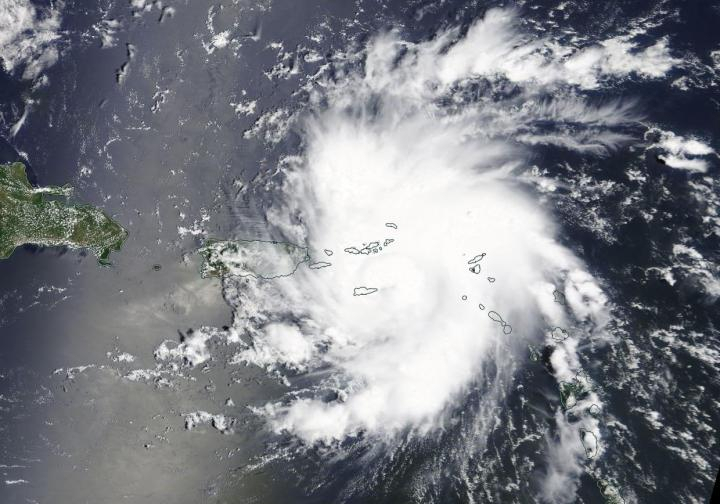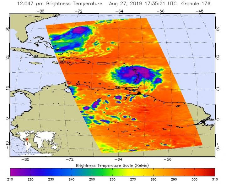
NASA's Terra satellite that passed over the northwestern Atlantic Ocean took some closer images of Dorian reaching the hurricane status on Wednesday afternoon, Aug 28, 2019, prompting the National Hurricane Center to issue a warning.
NAC said, "Satellite and radar images indicate that the cloud pattern has become better organized during the past several hours." The Center had issued a Tropical Storm Warning for Puerto Rico with a Hurricane Watch earlier.
As of 2 pm EDT, the center of Hurricane Dorian was located near latitude 18.3 degrees north and longitude 65.0 degrees west, putting Dorian directly over the island of St. Thomas, as captured by the Moderate Resolution Imaging Spectroradiometer or MODIS instrument aboard NASA's Terra satellite.

Florida Gov. Ron DeSantis on Wednesday declared a state of emergency and urged all residents on the coast to be hurricane ready. "It's important for Floridians on the East Coast to monitor this storm closely. Every Florida resident should have seven days of supplies, including food, water and medicine, and should have a plan in case of disaster," he said.
Currently, Dorian strengthened over the warm waters of the eastern Caribbean Sea and was officially designated a Category 1 hurricane on the Saffir-Simpson Hurricane Wind Scale as of 2 pm EDT. A Hurricane Warning has been issued for Vieques and Culebra, the US Virgin Islands and the British Virgin Islands.
Dorian is moving toward the northwest near 13 mph, and this motion is expected to continue for the next day or two. Maximum sustained winds have increased to near 75 mph with higher gusts. Hurricane-force winds extend outward up to 20 miles to the north and east of the center.
Tropical-storm-force winds extend outward up to 80 miles primarily to the east of the center. An elevated weather station on Buck Island just south of St. Thomas reported a sustained wind of 82 mph and a gust of 111 mph. The estimated minimum central pressure from nearby observations is 997 millibars, said NHC in a statement.


